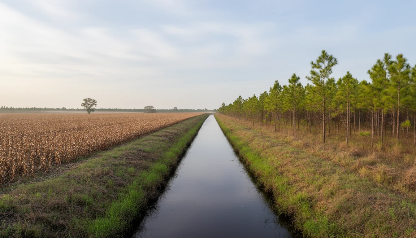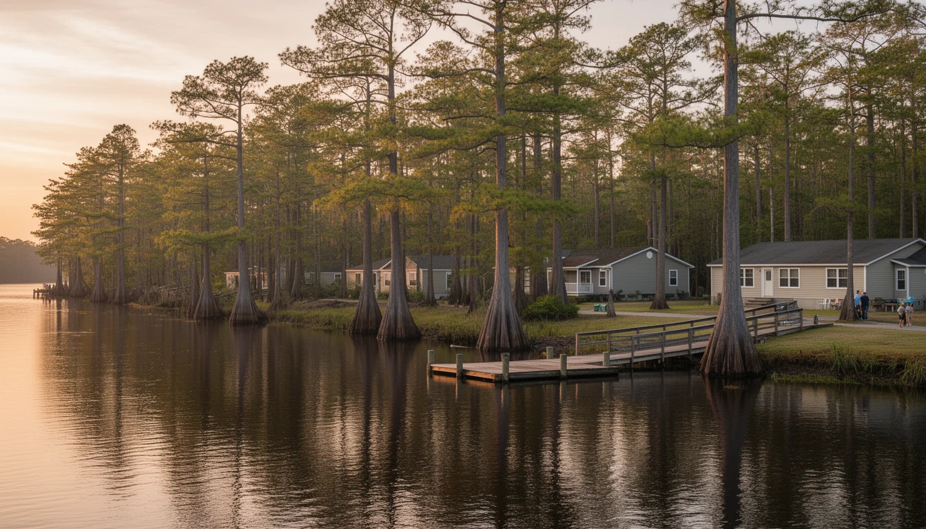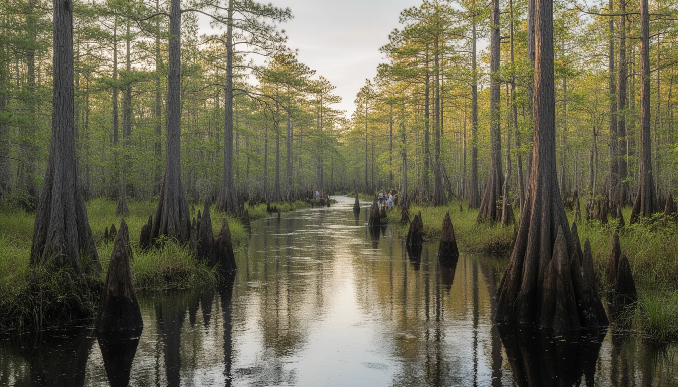


Cross the Scuppernong River on US-64 and Columbia is the only town sign you’ll see in Tyrrell County. Leave the highway east of town, though, and the map fills with names: Gum Neck, Kilkenny, Fort Landing, Frying Pan Landing, Newfoundland, Woodley. The roads to them run narrow between cypress and dark, tannin-stained water, and the names have been there for generations. None of these places is a town. All of them are real, and each one has a story that matters if you’re looking at land here.
What a name on the map means here
In Tyrrell County, a name on the map is not a promise of services. The unincorporated communities have no town hall, no municipal water or sewer, no local police. A mailing address in Gum Neck is a rural route out of Columbia, not a town. Homes run on private wells and septic systems, fire protection comes from volunteer stations, and broadband is address-specific. What the names do mark is water access and history: the places where the river meets the road, and where the county’s people have lived for three centuries.
Gum Neck: the fishing village on the Alligator
Gum Neck sits on the Alligator River, just south of where the river opens into the Albemarle Sound. It has been a fishing village for as long as anyone has kept records. The Secotan people had a village called Tramaskecoc on the river near present-day Gum Neck, and early settlers crossed the Great Alligator Dismal Swamp to farm what became Gum Neck Township. Today the name means a scatter of houses along the water and a public boat ramp that locals and Outer Banks-bound anglers use to reach the river. Until the early 1950s the community ran its own schools; when the new Columbia High School was completed, Gum Neck’s high school closed and students were bused to town, with the elementary school following within a few years.
Frying Pan: the inlet that named itself
A few miles down the Alligator, Frying Pan Landing takes its name from a nearby inlet of the river said to be shaped like a frying pan. The name appears on some of the earliest maps of North Carolina, and the first settlers came for the fishing: the Pan and the river around it were known for fine catches. It is still a landing on the river, a name on the map that matters most to people who fish, hunt, or want a weekend place on the water.
Fort Landing: where the county started
Fort Landing is the oldest story in the county. Around 1700, before Tyrrell County existed, settlers crossed the sound and raised a stockade of hewn logs near the mouth of the Alligator River, a simple wall meant for protection from Indians or pirates, according to the county’s histories. Their settlement became known as Fort Landing, and for years it was the only settlement along the whole river. The fort is gone, but the name stuck. If you buy land in this part of the county, you’re buying ground where the county’s first permanent English residents chose to live.
Kilkenny, Newfoundland, and Woodley: crossroads names
The rest of the names are smaller still. Kilkenny, an early settlement on the southern banks of the Alligator, may have been settled originally by Irishmen; the name is the same as the Irish city, and the county history records the possibility. Newfoundland sits on the county roads near Fort Landing, in the same river neighborhood the old planting families worked. Woodley runs along NC 94, the road that connects Columbia to the Hyde County line; it once had a rail depot, gone now, and a handful of houses around the old road.
There is also the Scuppernong community, which strings along US-64 south of town toward Creswell on better-drained ground than most of the county, and a string of small sound-side places along the Albemarle shore. Both show up on the map and on rural route addresses.
What this means for a buyer
If you’re looking at Tyrrell County land, the named communities are useful shorthand. A parcel near Gum Neck, Fort Landing, or Frying Pan Landing comes with nearby public water access and a piece of the county’s history. A parcel in one of the crossroads communities comes with neighbors, usually, and with the same wells, septic systems, and volunteer fire protection as anywhere else in the county. What none of the names buys you is services: the grocery store, the school campus, the courthouse, and the post office all sit in Columbia, and the drive from the far corners of the county is a real one, 20 minutes or more on narrow roads.
The trade is the same one that runs through every chapter of this brief. You get land, water, and quiet that Dare County money can’t buy, and you bring your own services: a well, a septic system, a generator mindset, and a willingness to drive. Visit the community on an ordinary weekday before you offer. Walk the ramp, time the drive to Columbia, and ask a neighbor how the road handles a wet February.
The Bottom Line
Tyrrell County’s map is short on towns and long on named places, and the names matter. Gum Neck, Frying Pan, Fort Landing, Kilkenny, Newfoundland, and Woodley are landings, crossroads, and old settlements where people have lived near the water for three hundred years. Buy near one of them and you’re buying into that history and that water access, with the honest knowledge that the services live in Columbia.