

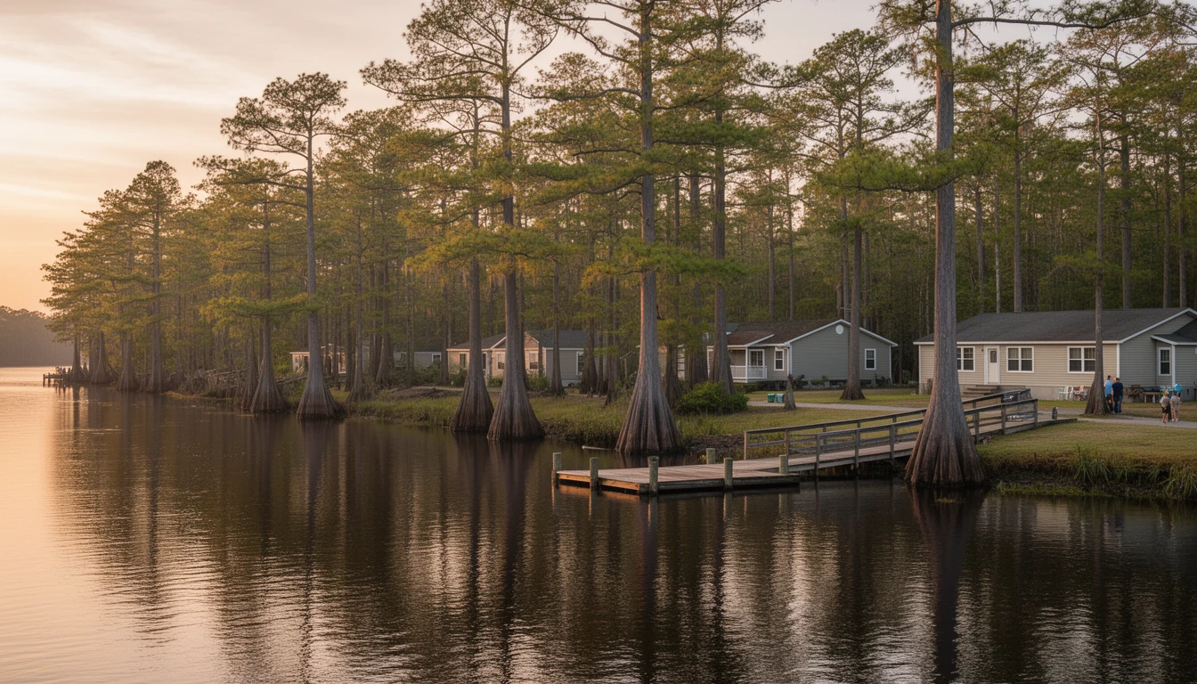
Stand at the end of Main Street in Columbia and the river is right there, dark and slow, sliding past the boardwalk toward the Albemarle Sound. It’s easy to read it as scenery. For most of this county’s history it was something else: a working highway. A hundred years ago this waterfront was wharves and steam whistles, and the mail, the timber, the fish, and a good share of the people in Tyrrell County moved on the water, not on the road.
What did the river actually carry?
The short answer: everything. The U.S. Army Corps of Engineers kept records of shipments by steamer to and from the Scuppernong through the 1880s and 1890s, which tells you how much freight this little river was expected to move. Timber came down from the pocosins, floated to the water or hauled to the landings, then shipped out of Columbia for milling. Shad and herring were caught by the barrel, pickled, and sent to northern and West Indian markets. Farm crops went the same direction, and passengers and mail rode the steamers heading the other way.
The best-known boat in that fleet was the Estelle Randall, an inland passenger steamer and mail carrier built in 1898. She burned at the Columbia town wharf on the night of January 17, 1910, a loss reported from the Raleigh News and Observer to the federal government’s own wreck records. The screw steamer Tourist ran a similar route until she was lost in the sound between Elizabeth City and Columbia in June 1907. By 1887 the region’s steamboat lines were already drawing maps that tied Columbia’s river traffic to the railheads around Norfolk, Virginia.
The bridge that showed how much the river mattered
You don’t send gunboats up a creek. On July 12, 1864, two Union gunboats, the Ceres and the Whitehead, steamed up the Scuppernong and burned the bridge at Columbia plus a gristmill along the way, cutting a supply route the Confederates used to reach Plymouth. The bridge wasn’t rebuilt until the early 1870s. A military expedition whose whole objective was to take out a crossing on this river tells you everything about how central the water route was to the region’s life.
The timber that paid for the wharves
As timber and agriculture exports grew, the state asked Congress to improve navigation on the Scuppernong, and the Corps of Engineers obliged with dredging projects starting in the late 1800s. The money followed the industry. Richmond Cedar Works, the John L. Roper Lumber Company, and Branning Manufacturing, the big players of the era, at one point owned more than 80 percent of the land in Tyrrell County. Nearly sixty companies cut timber here over the years, and logs from Tyrrell found their way as far north as Boston. Branning’s main mill sat on the Columbia waterfront, on the ground where the Walter B. Jones Sr. Center for the Sounds stands today. From roughly 1880 to 1970, the county’s economy ran on what the river could carry out.
Why the steamboat era ended
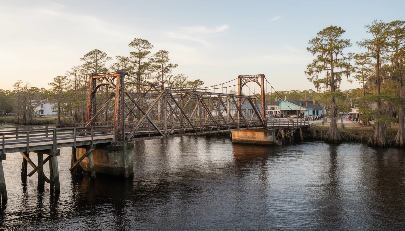
The railroad reached Columbia in 1908, and the river’s freight business fell off a cliff. Shipping dropped from 26,653 tons in 1912 to 10,443 tons in 1916, a decline of more than two-thirds. The wharves held on for a while: about 1,500 feet of waterfront wharf space was still in use into the early 1930s. Then the lumber mills closed one by one, and by 1938 the wharf space was down to 300 feet. The 1926 swing bridge over the Scuppernong, the one that still pivots by hand downtown, marks the moment the road era took over. After World War II the last mills on the river shut down, and in the 1940s and 1950s Columbia’s businesses shifted from the waterfront to Main Street. The county’s main connection to the outside world became US-64, and the river became something else.
What the old riverport tells a buyer today
The port is gone. The river isn’t. That’s the honest version of this history for anyone looking at property here.
The water at the foot of Main Street still reaches the Albemarle Sound, and from the sound you can reach the Intracoastal Waterway. What the steamers did for freight, today’s river does for recreation: paddling the blackwater, fishing, duck hunting, and weekend boats heading for the sound. The swing span of the 1926 bridge still opens for boats that want through, a working piece of the old navigation system.
The trade-offs come with the territory. This is low, flat country, so riverfront parcels carry real flood-zone and wetland questions, and septic suitability has to be checked parcel by parcel. The waterfront here is quiet, not a marina district: don’t come expecting dockside restaurants and a boatyard on every corner. And the town is small on purpose, the way it has been since the wharves went quiet.
But when you stand on the boardwalk, you’re standing where stevedores worked and where a passenger steamer burned on a January night in 1910. The reason Columbia sits where it sits is the water at your feet. That hasn’t changed in two hundred years. What changed is what the river is for: freight then, life now.