

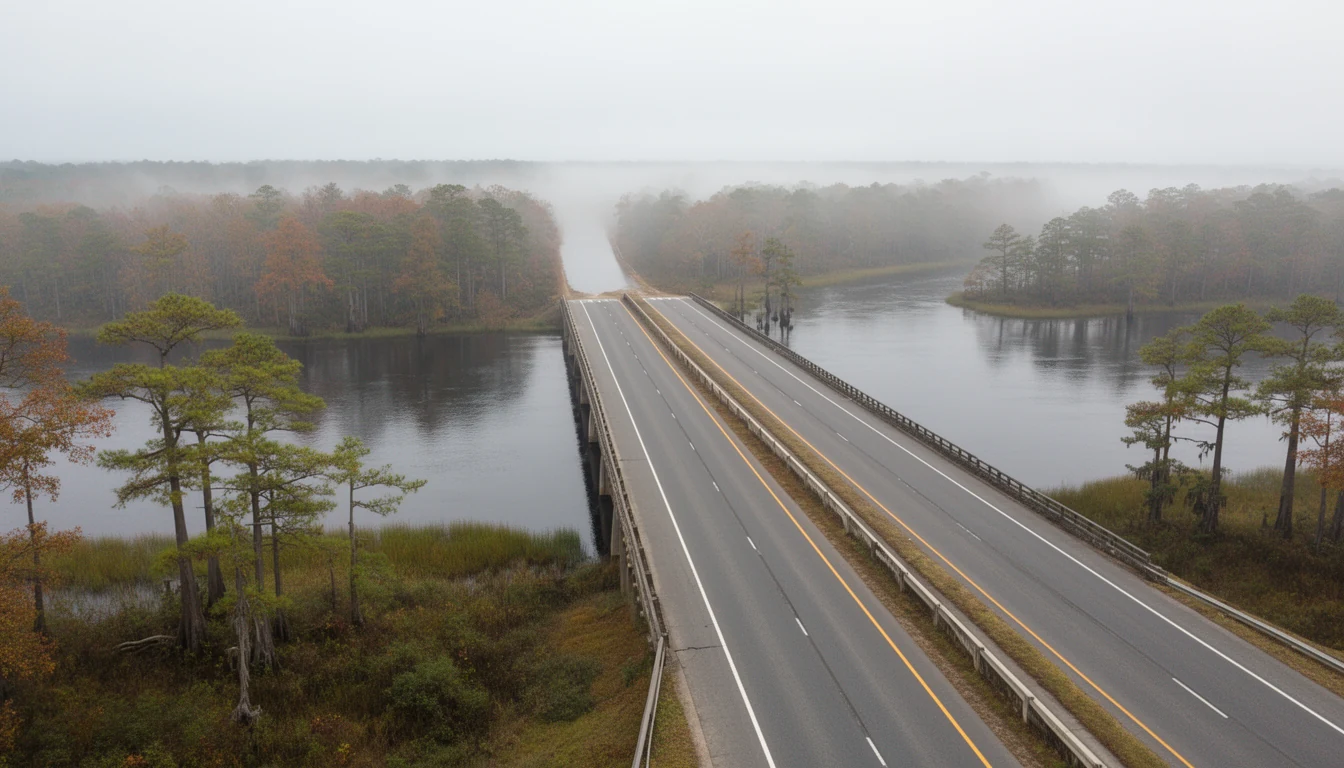
Stand on the Tyrrell County bank of the Alligator River on an October morning and the whole county’s history shows up in one span of steel. US 64 runs east out of the pocosin, drops onto the Lindsay C. Warren Bridge, and stops. The swing span has rotated open for a workboat in the Intracoastal Waterway channel, and a line of trucks idles with the windows down because the morning has finally turned cool. For about five minutes nobody is going anywhere. Then the span swings shut, the line moves, and the highway runs on toward Manns Harbor and Manteo.
A five-minute wait is a small thing. It is also the last piece of an older fact this county lived with for two centuries: to go east, you waited on the water.
Before the bridge, the county faced every way but east
Tyrrell Precinct was carved in 1729 out of Chowan, Bertie, Currituck, and Pasquotank, and named for Sir John Tyrrell, one of the Lords Proprietors. Its original boundaries ran from Roanoke Island west to near present-day Tarboro. The county only took its current shape after the 1870 division that also produced Martin, Washington, and Dare.
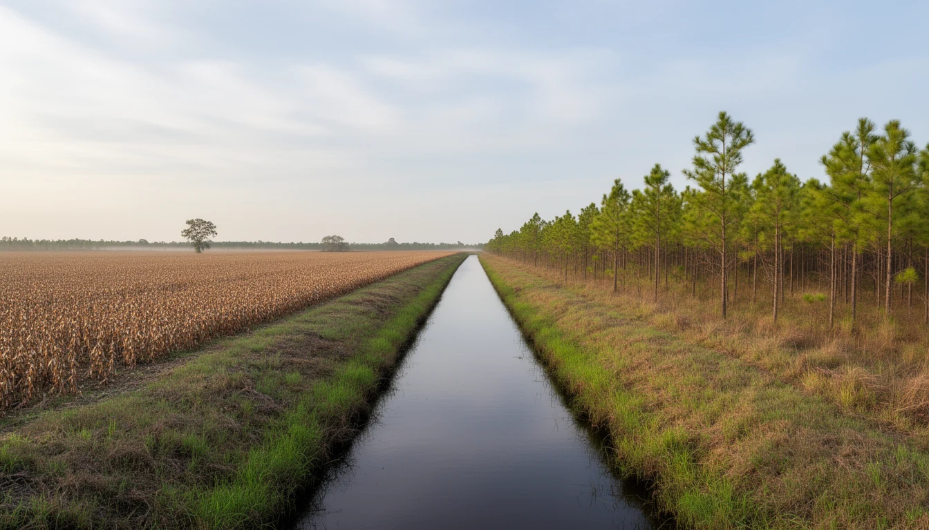
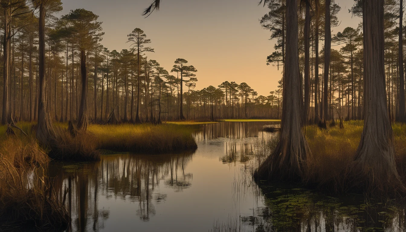
What the land gave, mostly, was water and swamp. Eighteenth-century Tyrrell ran on subsistence farming and fishing, and on shipping what the swamp produced. Shingles and staves went across the Albemarle Sound to Edenton, the region’s commercial center, and from there to northern markets. Later the trade shifted up the Pasquotank River to Elizabeth City, where the Dismal Swamp Canal tied the sound to the port of Norfolk.
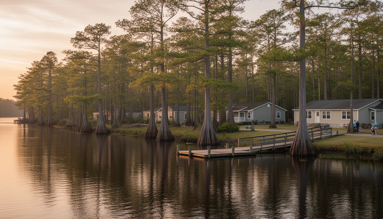
Settlement followed the dry ground: the sound shore, the Alligator River bank at Fort Landing, and the coves and creeks down the southeastern side. The interior stayed wet and stayed empty, and the county has carried that shape ever since. For most of its recorded history, Tyrrell has been one of the most isolated and sparsely populated places in North Carolina.
The roads came, then the railroad left
The twentieth century brought pavement. US 64 was paved through the county in the 1920s, and in 1926 a bridge went over the Scuppernong River at the west end of Columbia’s main street. NC 94 was pushed across the heart of the county in 1933, linking Columbia south toward Hyde. Farming rode the new roads: Irish potatoes did well enough here that by the late 1940s Tyrrell ranked first in the state for potato production. Timber and commercial fishing supplied the rest.
Then the rail line pulled out. Service into Columbia was discontinued after World War II and the railroad was withdrawn from town in 1948, which left a small county with trucks, farm roads, and a long drive to anywhere. A road-building program started in 1947, the schools consolidated in 1950, and Columbia got its first traffic light in 1959. The county was modernizing on its own side of the water, and it was still cut off from the east.
1962: the ferry makes its last crossing
For all those years, nobody drove to the Outer Banks from this direction. US 64 ended at the Alligator River, and the crossing was a ferry.
Construction on a bridge began in 1960. The Lindsay C. Warren Bridge opened in 1962, with a dedication ceremony on February 9. Governor Terry Sanford and Congressman Herbert C. Bonner were there that day. The Coastland Times headline read, “Governor Sanford to Take First Trip on Warren Bridge.” Dignitaries boarded the Alligator River ferry for one final crossing, and then the governor drove back over the new span as its first driver.
It was nearly three miles of steel and concrete laid across a river that had always been a wall. Contemporary accounts called it the first land link between the northern Outer Banks and the interior of the state, and for the first time a Tyrrell County address sat on a through road.
What a bridge does to a land market
For Tyrrell, the effect was a turn of the compass. A county organized around the Scuppernong, the sound, and the railroad became a corridor. US 64 through Tyrrell was suddenly the road to Dare County, and every beach trip, delivery truck, and work crew passed through on the way.
The property market followed that same turn, though not the way a booster would tell it. Tyrrell’s population peaked at 5,556 in 1960. It did not grow after the bridge; it fell, down to 3,245 at the 2020 census. The bridge did not fill the county up. It changed what the county was for. Land west of the river stayed far cheaper than land east of it, and that gap is the whole argument for buying here if you work on the beach. The commute chapter walks that route turn by turn; the county history page carries the longer record.
The bridge that still makes you wait
The 1962 design had a hinged center span that swings open 90 degrees to let boats through. That was state of the art at the time. Six decades on, it is the county’s daily bottleneck. NCDOT says the swing section opens for boat traffic more than 15 times a day and hangs up in the open position two or three times a year. A full open-to-close rotation takes about five minutes even with no boat in the channel.
The fix is under construction. NCDOT began a fixed-span replacement in February 2025, with completion anticipated around the end of 2029. The new crossing goes in just north of the current one, and because it does not move, the road will stop waiting on the water.
That is good news with a construction window attached. Between now and 2029, expect periodic work around the crossing, and keep the swing span in your planning if your job has a hard clock-in. If you are buying on a five-year horizon, you are buying on the cheap side of a bottleneck that is scheduled to come out.
What the history is worth
None of this is decoration. The ferry, the railroad, and the 1962 ribbon cutting are why the two banks of this river price the way they do, and why a county of 3,245 people supports the land market it has. Tyrrell is affordable because it stayed hard to reach and hard to drain. The bridge did not change the soil or the services, only the drive.
Columbia’s turning point was a February morning in 1962. The cheap acreage, the forty-minute run to Manteo, the land that Dare County money never touched, all of it sits downstream of that day.
So the next time you sit at the open span on a fall morning, waiting on a boat, you are waiting on the last of the ferry era. It is the county’s oldest habit, and its shortest delay.
If you are looking at land or a house on either side of that river, call me at (252) 202-4945. I drive it, and I will tell you plainly what you are buying.