

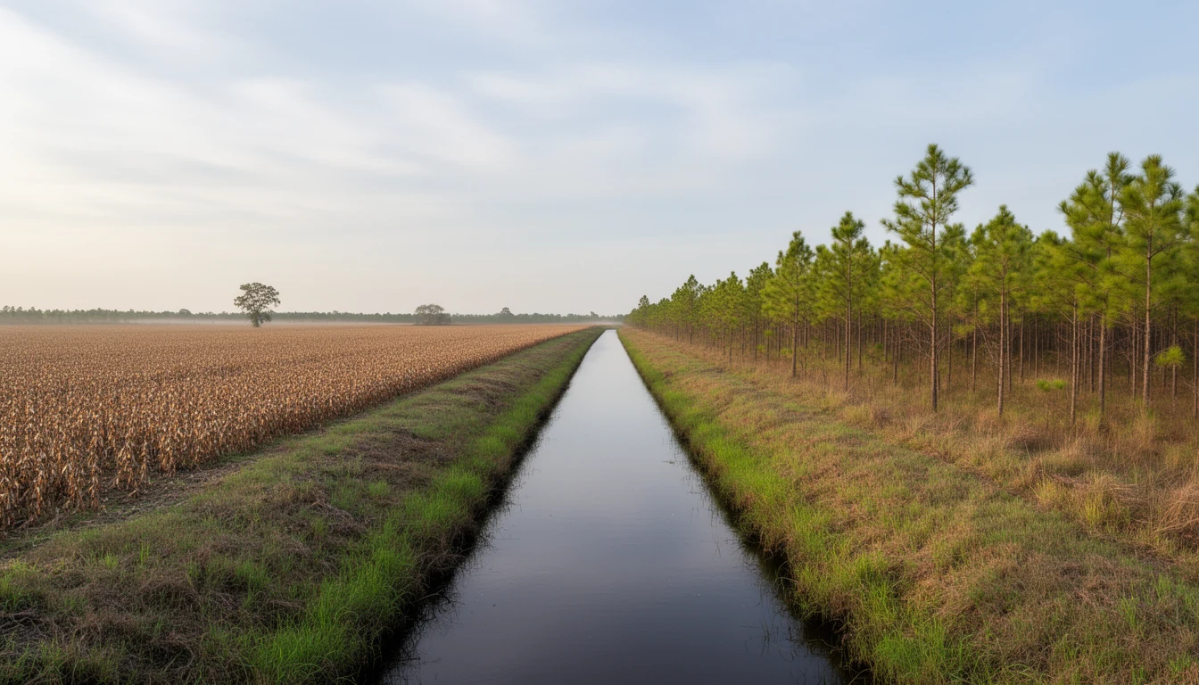
Drive US-64 east out of Columbia and the farmland looks orderly: flat fields, straight edges, long even rows. Look closer and you notice the lines that do not fit the crops. Every so often a canal cuts the field edge to edge, dark water running straight to the horizon between grassed banks. Those canals are the reason the fields exist at all. Tyrrell County was not born farmable. It was ditched into being.
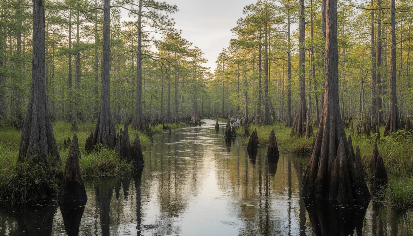
The county sits on pocosin, an Algonquian word usually translated as “swamp on a hill.” Pocosin peat is soil made of old vegetation, decomposed slowly in water over thousands of years. It holds water like a sponge, keeps the water table at the surface much of the year, and is a miserable place to grow row crops until you remove the water. For two centuries, that removal was the county’s main engineering project, and its history is written on every drained parcel for sale today.
The plantation canals: draining by hand
The first serious drainage came from the plantation era, and it was brutal work. The Pettigrew and Collins families, the big landowners around Lake Phelps, wanted the swamps between the lake and the rivers turned into corn and wheat ground. Using enslaved labor, they dug canals from Lake Phelps to the Scuppernong River, a distance of about six miles. The canal at Somerset was completed as early as 1787, and the network grew from there.
Those cuts were working waterways, not just drains. Shallow-draft boats moved forest products, rice, cotton, wheat, and corn down the canals to the Scuppernong, then on to Columbia or Edenton for export. Sawmills, grist mills, and shingle mills sat along the banks. The Bonarva and Bee Tree canals in Tyrrell County survive essentially intact today, more than two centuries later, and you can still trace their straight lines on a map or from the air.
The timber era: cutting roads into the swamp
The interior of the county stayed mostly undeveloped into the twentieth century. That changed when timber and pulpwood companies bought the land and cut roads and drainage canals through the swamplands to reach the trees. Columbia grew on the lumber trade: the Branning Manufacturing Company of Edenton built a planing mill at the south end of town and laid a railroad spur into the timberlands, and in 1908 the Norfolk and Southern Railway extended its tracks to Columbia. The logs came out of the pocosin on the same canals that drained it, and the cleared, drying land was then marketed for farms.
That pattern repeated at industrial scale in the 1960s and 1970s. According to the US Fish and Wildlife Service, about a third of what is now Pocosin Lakes National Wildlife Refuge was ditched and drained in those decades for easier access to Atlantic white cedar and bald cypress stands. Corporate buyers such as First Colony Farms assembled huge tracts across Tyrrell and neighboring counties, built a vast network of drainage ditches, and cleared thousands of acres of swamp forest for row crops. The peat, once dried, proved too difficult to farm, and later attempts to harvest it as an energy source failed too.
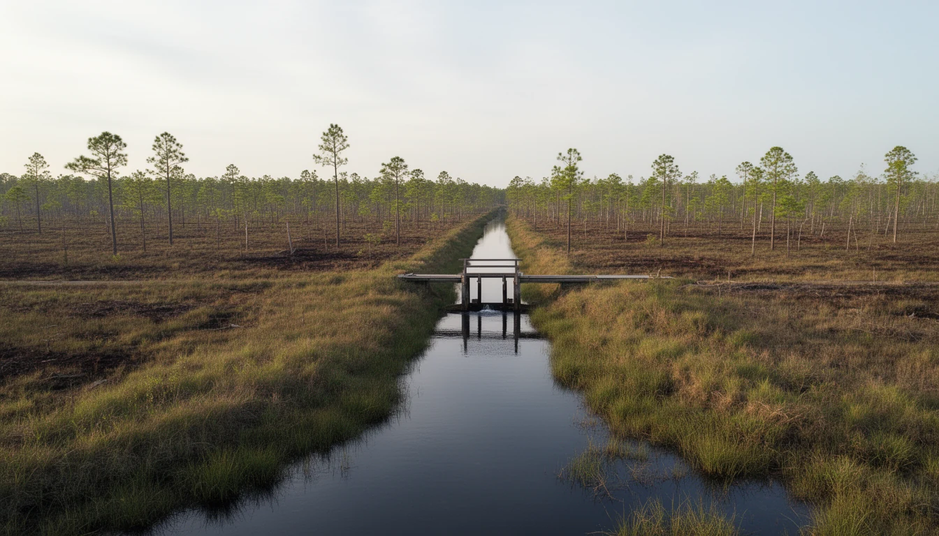
What the dried peat did next
Drained peat does two things: it subsides, and it burns. When the water leaves, the sponge collapses and the land slowly sinks. And when a dry spell goes deep enough, the peat itself becomes fuel. Ground fires in pocosin soil do not race along the surface like a forest fire; they smolder underground for months, in peat sometimes several feet deep.
Eastern North Carolina learned that lesson the hard way. A fire that started along Allen Road during the 1985 drought burned about 100,000 acres, including peatlands about three feet deep. The Evans Road wildfire began in June 2008 and did not die out until January 2009; it burned about 41,500 acres, roughly two-thirds of it on the refuge, and its smoke reached Raleigh 150 miles away. A 2008-09 wildfire at Pocosin Lakes released an estimated nine million tons of carbon into the atmosphere.
The rewetting: water coming back on purpose
The response to the fires was the opposite of everything the ditch diggers had done. Pocosin Lakes National Wildlife Refuge, established in 1990 with the Pungo unit dating to the early 1960s, began plugging ditches and installing water-control structures to keep the peat wet. The refuge now spans about 110,106 acres across Washington, Hyde, and Tyrrell counties, and the Fish and Wildlife Service has restored over 37,000 acres of peatland, one of the largest wetland restoration projects of its kind in the country.
The refuge’s mission is to keep water on the landscape, not move it off. In practice, that makes it a working neighbor to every drained farm tract around it. When a wildfire sparked on private land along Ferebee Road in June 2022, nearly 2,000 acres burned, yet the refuge’s restored peat did not ignite, something the refuge manager credited directly to the rewetted hydrology. Cooperative farming continues on about 1,200 acres inside the Pungo unit, with local farmers leaving a share of the crop for wintering waterfowl, so the county’s farming heritage and its new water mission are learning to share the same flat ground.
What the ditches mean for a buyer today
Every one of those eras is still legible in Tyrrell County land, and a buyer should read it before making an offer.
If the parcel is drained farmland, you are not buying dirt. You are buying a position in a drainage system. That means learning which canals the land drains to, whether they cross other people’s property, and whether recorded drainage easements burden the parcel, benefit it, or both. It means asking if the land sits inside an organized drainage association or district, what the assessments run, and who actually maintains the outfall. A ditch that has not been cleaned out in fifteen years is not a ditch; it is a linear pond, and the field it used to drain is on its way back to being pocosin. The water table does not care what the listing says about the land being “high and dry.”
If the parcel borders the refuge, understand that the neighbor’s explicit job is keeping water on the ground. That adjacency is a genuine amenity for hunting and privacy, and it is also a hydrology fact you should price in, especially in wet years when the refuge holds water that used to drain away.
And if the parcel has old canals on it, treat them as both asset and obligation. The Bonarva and Bee Tree canals have carried water for over two hundred years because someone maintained them. Their straight lines are Tyrrell County’s oldest infrastructure, older than the courthouse, older than most of the roads. Buying land here means buying into that system, whether you ever think about it again or not.
The honest version: Tyrrell County is not a place where you can ignore water. The people who drained it learned that the hard way, and the people rewetting it are proving the lesson in reverse. What the ditches leave behind, for a careful buyer, is something rare: land whose history you can read from the road, if you know what the straight lines mean.