

Most towns put their best face on a highway billboard. Columbia put its best face on a boardwalk.
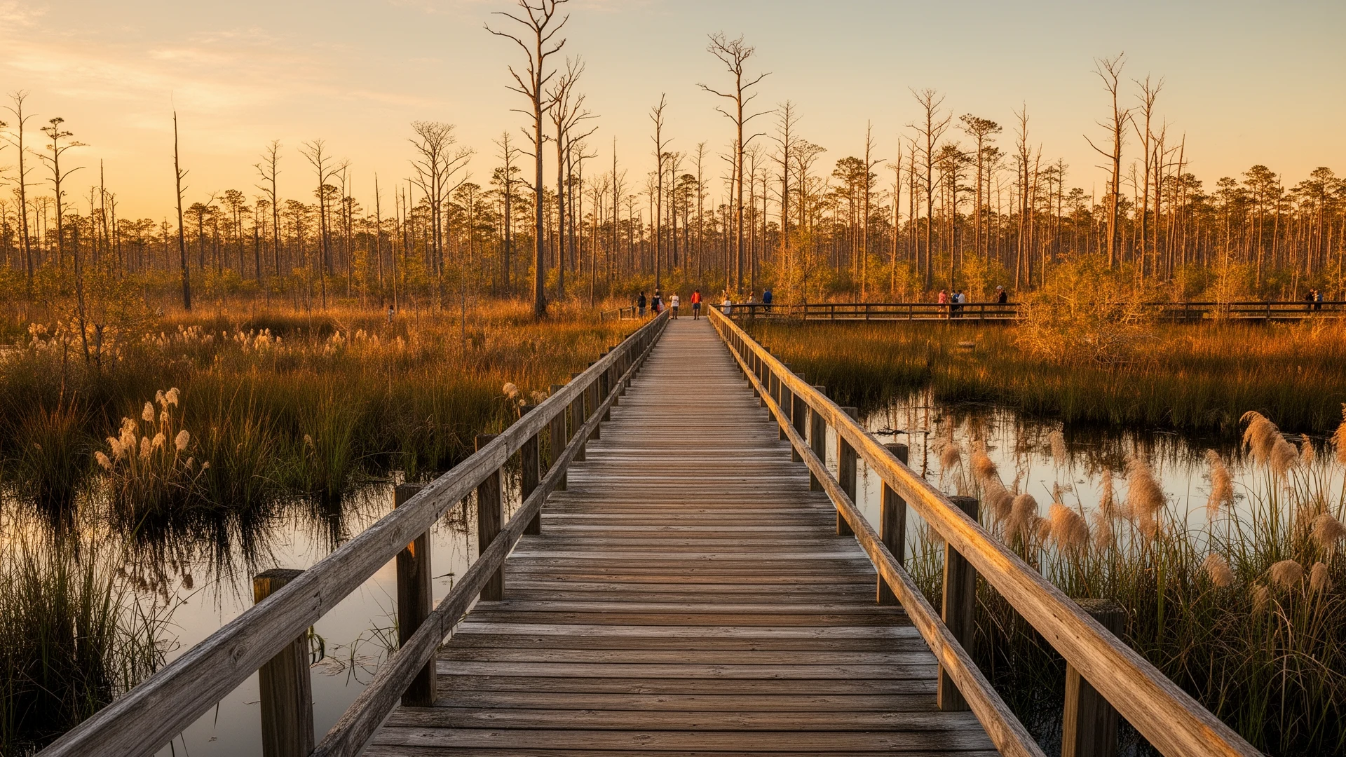
If you visit only one thing before deciding whether this town is for you, make it the Scuppernong River Interpretive Boardwalk. It’s a 0.75-mile loop that starts behind the Pocosin Lakes National Wildlife Refuge visitor center — right off US-64 — winds through the cypress and swamp forest at the river’s edge, and delivers you into downtown Columbia on foot. It was designated a National Recreation Trail in 2005, it’s managed by the refuge, and it’s free. In one short walk you get a compressed, honest tour of everything this county is: blackwater, big trees, birdlife, and a small town that lives with its river rather than beside it.
The river that named a grape
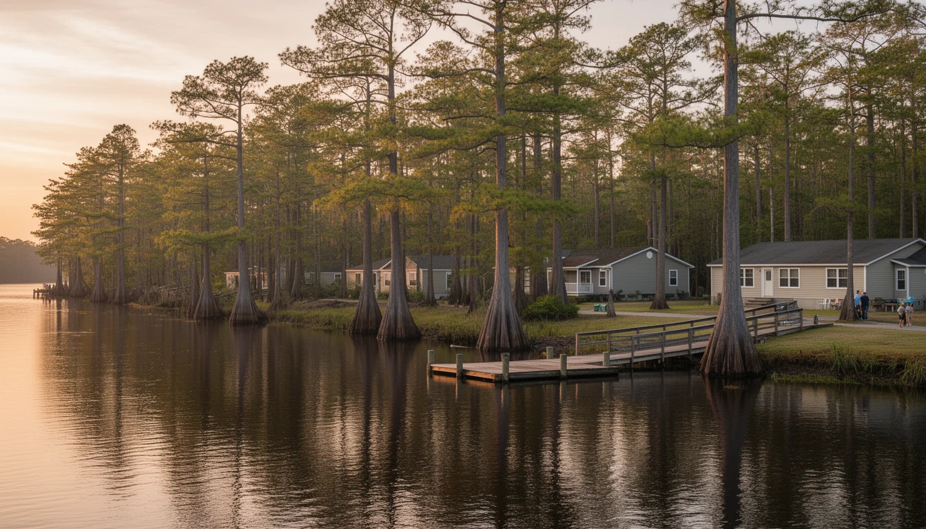
The Scuppernong is a blackwater river — the water runs dark, tea-colored, stained by tannins from the swamp vegetation it drains. That’s not pollution; it’s chemistry, and it’s characteristic of the slow, low-gradient rivers of the coastal plain. The Scuppernong rises in neighboring Washington County and flows through Tyrrell County, past Columbia’s front door, into the Albemarle Sound.
The river also carries one of North Carolina’s better pieces of naming trivia: the scuppernong grape — the bronze-green muscadine that grows wild across the coastal plain — takes its name from this river. In 2001 the General Assembly made the scuppernong North Carolina’s official state fruit. The famous “Mother Vine” on Roanoke Island, decades into its fifth century of growth, is the variety’s best-known specimen. So when you stand on the boardwalk looking at dark water sliding toward the sound, you’re looking at the namesake of the state fruit. (Verified via NCpedia’s state fruit entry.)
Downtown, from the water in
Columbia is the county seat and the only incorporated town in Tyrrell County — about 610 people at the 2020 census. Downtown is a few compact blocks between US-64 and the river: the courthouse, local shops and eateries that come and go the way small-town storefronts do, and the refuge visitor center anchoring the riverfront. The boardwalk stitches it together — you can park once, walk the river loop, and cover the whole downtown without moving your car.
What strikes most first-time visitors is the scale. There’s no sprawl to get through, no strip development between “town” and “water.” The river is simply there, at the end of Main Street. For buyers coming from places where waterfront means gated and expensive, that accessibility reads almost like a trick. It isn’t. It’s just a very small town on a very quiet river.
What riverfront ownership actually looks like here
Now the buyer’s-eye view, because a pretty boardwalk is not a property analysis.
The upside is real. Water frontage on the Scuppernong or near the sound exists here at prices that would be decimal-point errors in most coastal markets. Boating access to the Albemarle Sound — and from there the Intracoastal Waterway — is genuine. Fishing, paddling, and duck-hunting culture run deep.
So are the constraints:
- Elevation and flood zones. This is low, flat country. Much of the land near the river sits in mapped flood zones, which affects insurance cost, lender requirements, and how (and how high) you can build. Before you fall in love with a parcel, look up its flood zone — every serious conversation about riverfront here starts there.
- Wetlands. Land near a blackwater river often includes jurisdictional wetlands, which limit where you can clear, fill, and build. A parcel’s acreage number and its buildable acreage can be very different figures.
- Septic. There’s no county-wide sewer out in the rural areas; most properties run on septic, and soil near the river doesn’t always cooperate. Septic evaluations here go through the Martin-Tyrrell-Washington District Health Department, and a soil evaluation is a make-or-break step for any unbuilt lot. The Buyer’s Brief covers this in detail in Wells, Septic & Building Here.
- The water itself. A blackwater river is beautiful and biologically rich, but it’s not a swimming-pool-clear mountain lake, and sound-side water is shallow a long way out. Match your expectations to the actual water.
None of these are reasons not to buy. They’re reasons to buy with your eyes open, with the right inspections, and with contingencies written into the offer. The full chapter on the town and its river — Columbia & the Scuppernong — goes deeper on all of it.
A suggested first visit
Here’s the itinerary I give people who are Columbia-curious:
- Park at the refuge visitor center on US-64 and walk the full boardwalk loop. Go early if you want wildlife.
- Walk Main Street to the water. Stand on the dock and look at the river you’d be living with.
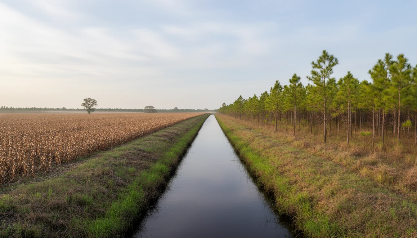
- Drive ten minutes in any direction out of town — see what the rural roads, farm fields, and refuge edges actually look like.
- Then, and only then, look at the current listings and see what your budget buys within what you just saw.
If the walk works on you the way it works on a lot of people, the next step is a conversation about specific properties — flood zones, soil, access, and all the unglamorous parts I’ll happily walk you through. The boardwalk is free. The due diligence is where I earn my keep.