
9 Questions Before Buying Beside a Tyrrell Pocosin

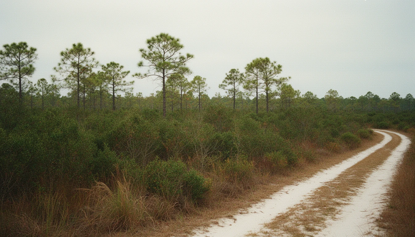
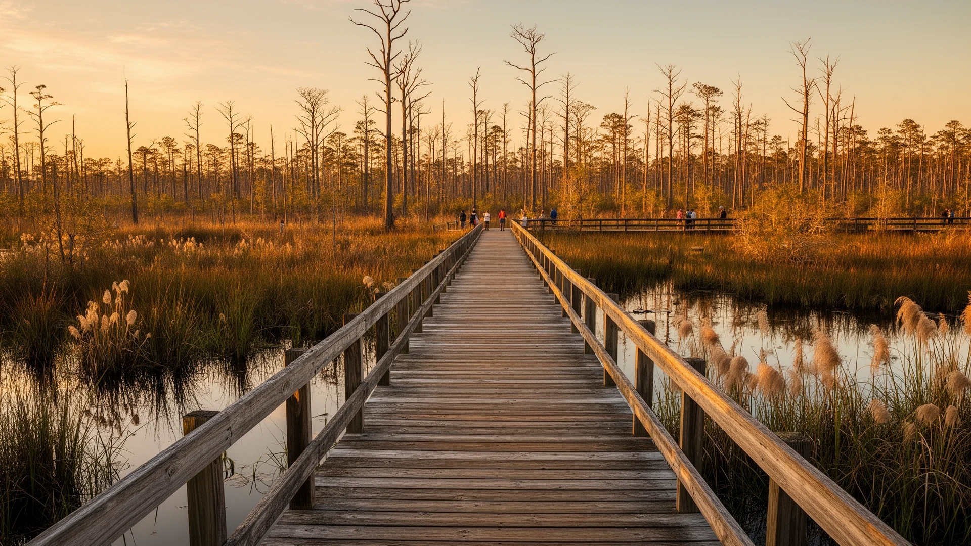
The ditch bank runs straight as a survey line, and in October it looks like a fine place to build. Grass on top, dry spoil on the sides. A strip of black water in the bottom. By February that same ditch runs near the top of its banks, the ground beside it swallows a boot, and the smell of wet peat comes up through the grass.
That gap between October and February is where most bad land purchases in Tyrrell County get made. The listing photo was taken in the dry season.
Walk a parcel from the Scuppernong out toward the refuge and the questions that separate a good buy from an expensive lesson are almost never about price. They are about water. Most of the rest is paperwork, plus one very dry summer. These are the nine I would settle before an offer goes in.
The ground under the price tag
1. Is any of this parcel jurisdictional wetland, and whose map says so?
Two agencies keep two maps, and they do not agree. The U.S. Army Corps of Engineers Wilmington District makes Section 404 jurisdictional determinations under the Clean Water Act. The state side runs through the NC DEQ Division of Water Resources, which issues the Section 401 water quality certification when a Corps permit is required. USDA’s Natural Resources Conservation Service keeps a third set of determinations that govern farm program eligibility. A parcel can come up clean on one map and expensive on another.
2. How deep is the peat, and what happens when it drains?
Pocosin topsoil isn’t mineral dirt. It’s organic material that built up underwater, more than a century per inch according to the Fish and Wildlife Service. Drain it and two things follow. It compresses, so the surface you bought settles. And it stops holding water the way it did when it was wet, which changes how the ground reacts to a dry summer.
3. Where does the water sit in February?
Ask for the wet-season water table, not the one measured in a dry fall. Then ask what elevation the house pad would need. On this landscape a foot of grade is the difference between a yard and a pond, and a foot of grade doesn’t show up in a listing.
The paper trail in the ditch
4. Which outfall canal carries this water, and who maintains it?
Most of Tyrrell’s farmland was engineered dry, and the engineering runs through canals that cross other people’s land. Some of those canals sit inside organized drainage districts, which can levy annual maintenance assessments on the land they serve under Chapter 156 of the North Carolina General Statutes. A ditch nobody has cleaned in fifteen years isn’t a ditch anymore. It’s a long shallow pond, and the fields behind it are on their way back to pocosin.
5. Are the drainage easements recorded, and do they burden you or benefit you?
This one cuts both ways. An easement letting a neighbor’s water cross your land is a burden you inherit with the deed. An easement letting your water cross theirs is the reason the parcel works at all. Read the recorded instrument, not the marketing sheet.
6. Has anyone already sold an easement on this ground?
Wetland reserve easements are permanent, and NRCS buys them through the Agricultural Conservation Easement Program. If one is recorded on the parcel, that acreage isn’t yours to drain or build on, whatever the appraisal assumed. Pull the deed and the recorded easements before you start counting acreage.
Fire, flood, and the neighbor
7. What burns when the peat dries?
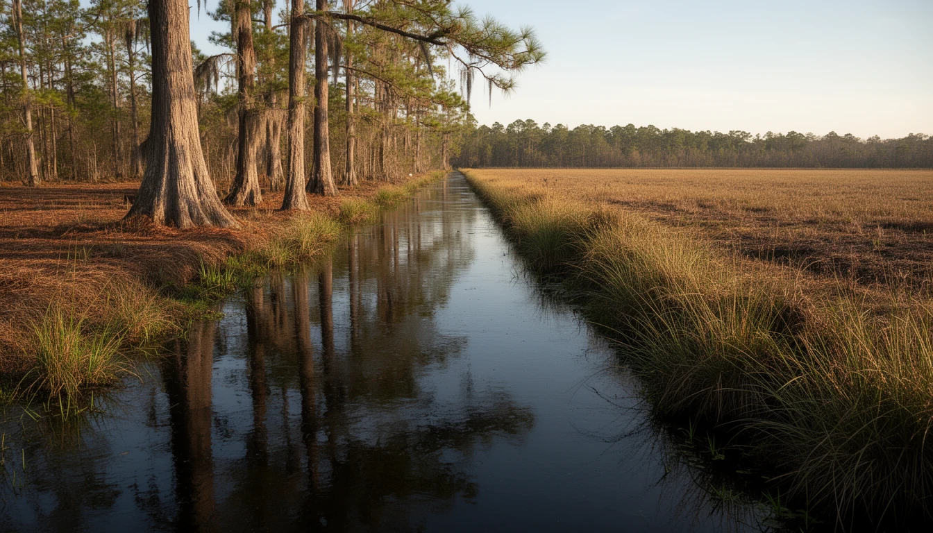
The Evans Road fire started on June 1, 2008, burned more than 41,000 acres, most of it inside Pocosin Lakes National Wildlife Refuge, and smoldered in the peat until January 2009. Peat fires go underground and get fought with water and time. Any parcel with deep organic soil carries a version of that risk in a dry year, and the risk lands on whoever owns the ground next to it too.
8. What did the last big flood do here?
Hurricane Matthew came ashore on October 8, 2016 and set record river levels across eastern North Carolina. In Tyrrell County the courthouse was unusable from flooding, and the Department of Social Services building was damaged. Set that against the flood zone on the survey and the insurance quote you actually received. Not the estimate. The quote, in writing, before your due diligence period ends.
9. Who is the neighbor, and what is their mission?
Pocosin Lakes National Wildlife Refuge runs about 110,106 acres across Tyrrell, Washington, and Hyde counties, with headquarters here in Columbia. Adjacency is a real amenity if you hunt or watch birds, and it’s worth a lot to anyone who wants a hundred thousand acres of nobody behind them. It also means the neighbor’s stated mission is keeping water on the landscape, not moving it off yours.
Walk the ditch bank in February with the plat in one hand and the soil map in the other. The land answers some of these nine questions on its own, and the ones it leaves open are the ones worth paying a surveyor and a wetland consultant to settle.
Keep reading
Three Waters, One County: Tyrrell's Rivers and Sound
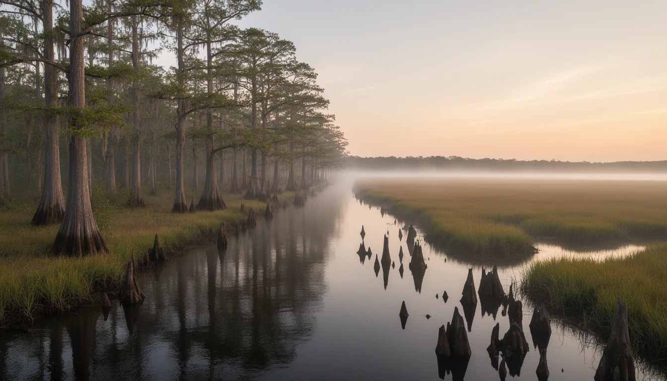
Tyrrell County holds more than one-third water. What the Scuppernong River, the Alligator River, and the Albemarle Sound mean for land buyers.
Tyrrell County Contracts: The Risk After You Sign
A 2022 NC Supreme Court ruling confirmed buyers who breach a purchase contract can owe attorney's fees. What that means for Columbia and Tyrrell County.
7 Costs of an Off-Grid Tyrrell County Build
Seven costs of an off-grid Tyrrell County build: septic on pocosin soil, wells, power runs, flood insurance, builder travel. Budget before you offer.