
11 Checks Before Closing on Tyrrell County Hunting Land

In this post
- Before you make the offer
- 1. Who actually has the legal right to get you in
- 2. What the deed calls actually describe
- 3. Where the water sits in a wet month
- 4. Whether the ground is jurisdictional wetland
- During due diligence
- 5. The drainage system you’re inheriting
- 6. What the timber is worth on this parcel
- 7. Whether the timber is even part of the deal
- 8. Present-use value status, and the rollback bill
- 9. The lease you inherit
- Before you take the keys
- 10. Where the refuge and game land lines run
- 11. The season and tag math for Zone 1
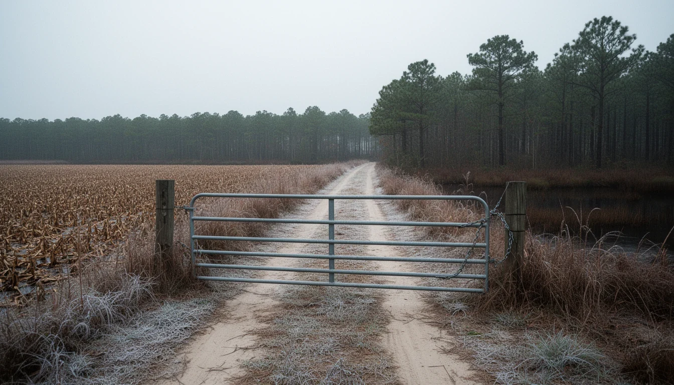
The gate at the end of the farm road is chained, and the man with the key is not the man selling the land. It’s the second week of November in Tyrrell County, frost still sitting on the broomsedge, and the ground gives under your boots the way peat does after a year of holding water. Somewhere out in the pocosin a bear is moving, and his season opens in a few days.
That’s the picture most hunting-land buyers carry into a contract. The eleven items below decide whether the picture survives the closing table. This is the least populous county in North Carolina, 3,245 people at the 2020 census and 610 of them in Columbia, which means the answers live with a handful of people: the tax office, the register of deeds, a forester, a surveyor, and whoever holds that gate key.
Before you make the offer
1. Who actually has the legal right to get you in
A Tyrrell tract can be perfectly titled and still unreachable. Much of this county was assembled by timber companies, and access frequently runs through a gate on somebody else’s land. A right-of-way written into your chain of title is the only version that survives a change of neighbor. Permission is not access, and a handshake with the current owner dies with the deed.
If nothing is recorded, ask whether a cartway is the answer. Under N.C. Gen. Stat. §§ 136-68 and 136-69 that is a special proceeding before the clerk of superior court, and it takes time and money you need to know about before you set a price.
2. What the deed calls actually describe
Deeds here were written by people standing on the ground. A run to a cypress, thence to the canal bank, thence along the ditch. Forty years on, the cypress is gone and the ditch has been re-cut fifty feet east.
Order the survey before the offer. Then lay the plat against the deed calls, the tax map, and the fence line, and write down every discrepancy while you still have room to negotiate. The older the chain, the more the paper and the parcel have drifted apart.
3. Where the water sits in a wet month
Peat holds water like a sponge and keeps the water table near the surface most of the year. A listing photo taken in a dry October will show you ground you can walk on; February will show you something else.
The useful question isn’t whether the tract floods. It’s how deep the water table runs in a normal winter and where the high ground is. Walk it wet, or send someone who will, and pull the soils map to read the drainage class before you fall for the timber.
4. Whether the ground is jurisdictional wetland
A large share of undeveloped land in this county is wetland under Clean Water Act Section 404, permitted through the U.S. Army Corps of Engineers, with state rules layered on through N.C. DEQ. Separately, Natural Resources Conservation Service determinations govern farm-program eligibility if ground gets converted.
Two agencies, two maps, two different consequences. A delineation tells you where the line falls before you plan a road, a culvert, a shooting lane, or a food plot. Do it early, because the answer can change what the parcel is good for.
During due diligence
5. The drainage system you’re inheriting
Most farmable ground in Tyrrell was engineered dry over generations, with canals and field ditches that intercept the shallow water table and carry it to the rivers. Buying a drained parcel means buying a position in that system.
Find out which canals your land drains to and whether they cross other people’s property. Look for recorded drainage easements and read which way each one cuts. Ask if an organized drainage association maintains the outfall, and what the assessment runs. A ditch nobody has cleaned in fifteen years is a linear pond, and the field it used to drain is on its way back to pocosin.
6. What the timber is worth on this parcel
Sellers overstate timber, and nobody can judge a stand from the cab of a truck. Hire a registered forester to cruise it: species, volumes, age classes, and merchantability.
Then ask the question that matters more here than it does inland. Can the timber actually be cut? Wet-ground tracts are loggable only in dry windows, and haul distance to a mill plus stream buffers can turn a stand that looks valuable into a break-even job. A stand thinned on schedule and replanted has a trajectory. A high-graded stand that lost its best trees is a liability in an asset’s clothing.
7. Whether the timber is even part of the deal
Read the reservation language line by line. A seller can reserve the right to cut for a term of years and do it legally after you close. You end up with a rutted flat and a view.
Search the record for an existing timber deed or cutting contract that runs with the land, and ask the closing attorney to confirm nothing survives the deed you’re about to sign. This is a five-minute question that occasionally saves a five-figure mistake.
8. Present-use value status, and the rollback bill
North Carolina’s present-use-value program, N.C. Gen. Stat. § 105-277.3, taxes qualifying land on what it produces rather than what it would sell for. The minimums are 10 acres in production for agricultural land, 5 for horticultural, and 20 under a written forest management plan for forestland.
PUV is a deferral, not forgiveness. Under § 105-277.4, taking land out of the program generally makes the deferred taxes for the preceding three fiscal years due with interest. Ask the Tyrrell County tax office three questions in writing before your diligence period ends: is the tract enrolled and under which classification, will my use keep it qualified, and what is the rollback exposure today. I wrote a longer piece on the tax math at 5 Ways Present-Use Value Changes Tyrrell County Tax Math.
9. The lease you inherit
Ask, plainly, whether the tract is leased for hunting right now, and get the document rather than the summary. Leases can be recorded, and a term can outlive a closing.
What matters in the paperwork: which species, how many members and guests, whether stands, feeders, and cameras are allowed, whether vehicles leave the paths, who holds the gate key, how renewal works, and who carries hunting-lease liability insurance naming the landowner as an additional insured. No certificate, no lease. If the seller says the club is like family, that’s the reason to get it in writing.
Before you take the keys
10. Where the refuge and game land lines run
Pocosin Lakes National Wildlife Refuge covers about 110,106 acres across Tyrrell, Washington, and Hyde counties, with its headquarters in Columbia and more than 101,600 acres of pocosin peatland inside the boundary. Refuge ground concentrates deer and bear, plus wintering waterfowl. It also carries federal hunting rules that are not the state’s rules, and the line between the two is your problem to know.
Tyrrell also holds the J. Morgan Futch Game Land, roughly 600 acres north of the Little Alligator River, managed largely for waterfowl. Across US 64 the Alligator River refuge runs 152,000 acres through Dare and Hyde. Get the boundary map for your parcel instead of a story about where the line runs, because a stand ten feet on the wrong side is a citation.
11. The season and tag math for Zone 1
Tyrrell sits in Coastal Bear Management Unit Zone 1 with Dare and Hyde, where the 2026 bear season runs November 14 through 29 and again December 12 through 27, one bear a day and one a season. Putting a bear tag on your Big Game Harvest Report Card takes a Bear E-stamp, and the card has to be validated before the animal moves off the kill site and the harvest registered before it’s skinned or by noon the next day.
Deer gun season in this zone opened October 17 and runs into January. Build your calendar around the real dates, then re-read the current regulations digest every year, because they move.
A chained gate, a survey stake, a tax office letter: none of it photographs well, and none of it is what anybody means when they say they bought land to hunt. It’s what lets the other thing happen. December 12 is the second bear window this year. Be standing on ground you have the legal right to stand on.
Keep reading
Reading a Tyrrell County Deed: Metes, Bounds, and Access
Old Tyrrell County deeds read like directions from a neighbor: stakes, canals, and a run. What the calls mean and what to verify before you sign.
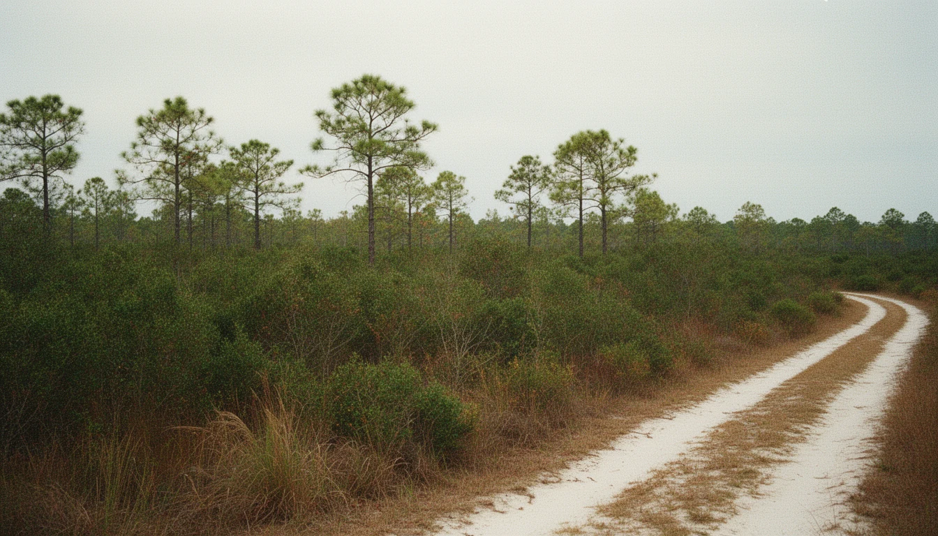
9 Questions Before Buying Beside a Tyrrell Pocosin
Nine questions to settle before buying land beside a Tyrrell County pocosin: wetland maps, outfall ditches, peat fire, floods, and recorded easements.
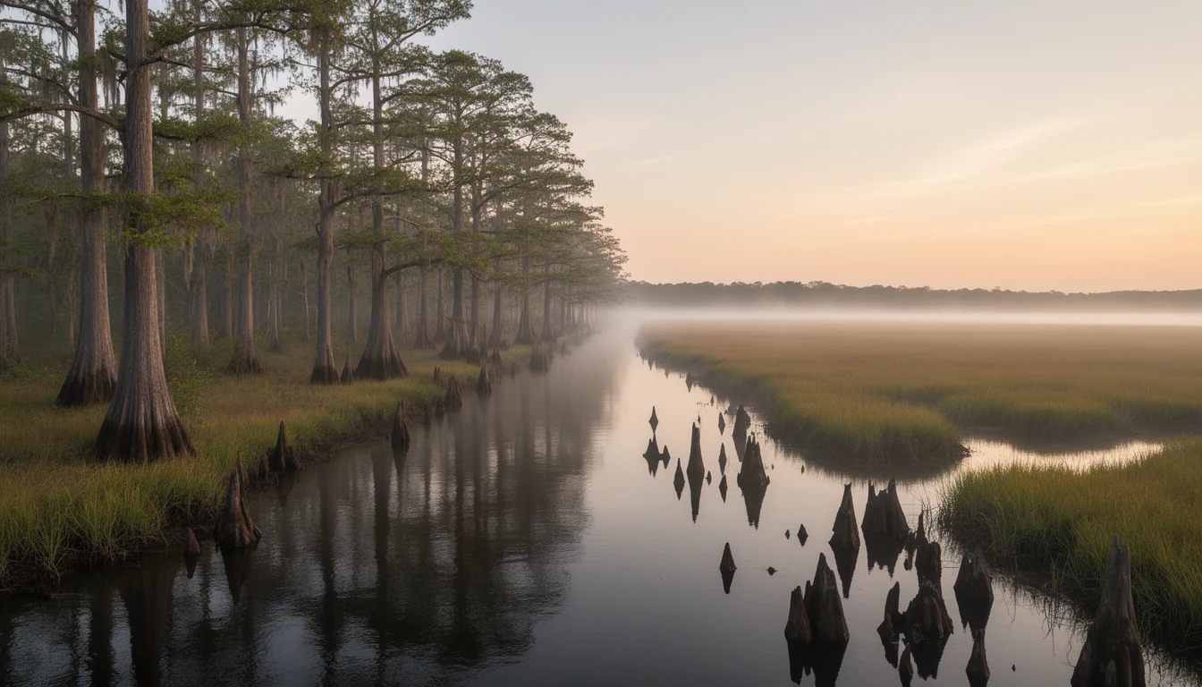
Three Waters, One County: Tyrrell's Rivers and Sound
Tyrrell County holds more than one-third water. What the Scuppernong River, the Alligator River, and the Albemarle Sound mean for land buyers.