
Reading a Tyrrell County Deed: Metes, Bounds, and Access


In this post
- A deed here is a set of directions, not a lot number
- When the paper and the ground disagree
- Thirty years of record, and the exceptions that matter
- Access is the line that decides whether the land is usable
- Heirs, estates, and the family tract
- Lines that moved
- Where the water is the boundary
- Recording happens in Columbia, and that is the point
- What I would have your attorney pull
The deed is two typed pages from 1974, and it starts at a stake in the canal bank. From there it walks you around the parcel: north 24 degrees east, 512 feet to a gum; then along the run; then back to the beginning. Read it at the Register of Deeds in Columbia and you can picture the ground. Stand on the ground and the argument starts, because the gum is gone and the canal has been widened twice.
That gap between the paper and the parcel is where most rural Tyrrell County title trouble lives. Rarely fraud. Mostly a county that was deeded long before anyone mapped it with precision.
A deed here is a set of directions, not a lot number
Subdivisions in town give you a lot and block on a recorded plat. Most of this county does not work that way. Tyrrell parcels are metes and bounds: a written walk around the boundary that starts at a monument, turns at stated bearings, and closes back on itself.
Older instruments use units that mean nothing to most buyers. A chain is 66 feet. A link is one hundredth of a chain, a little under 8 inches. You will also see rods and perches, both describing the same 16.5 feet. When a 1928 deed reads “thence 12 chains and 40 links to a pine,” someone was measuring with a steel tape and a compass, and the tree was the truth they trusted.
When the paper and the ground disagree
Surveyors and title attorneys generally let the monument win over the distance. If the deed says 512 feet to a gum stump and the stump is at 498, the stump is the corner. That rule exists because distances get transcribed wrong and monuments were what the original parties could see.
It also means a missing monument matters. When the gum or the iron pipe is gone, the corner has to be reconstructed from other evidence: an adjoining deed that calls to the same object, an old plat, the line of an ancient fence, or physical traces on the ground. This is why I tell buyers to budget for a survey rather than trusting the seller’s copy of a 40-year-old plat.
Thirty years of record, and the exceptions that matter
North Carolina’s Marketable Record Title Act gives a person with 30 years of unbroken record title a marketable title (G.S. 47B-2). That sounds like a clean slate. It is not a warranty that the land is free of every claim.
The problems that survive are the ones the act carves out, and they are exactly the ones that bite on rural tracts: recorded easements and rights-of-way, government interests, plus anything lurking inside the four corners of the documents in your own chain. A 30-year chain tells your attorney where to look. It does not tell you what you will find.
Access is the line that decides whether the land is usable
On big-acreage country, landlocked tracts are common, and a handshake path is not access. What you want is deeded access: a recorded right-of-way that runs from the parcel to a public road, described well enough that a surveyor can stake it.
If there is no deeded access, North Carolina does provide a route. The cartway statutes (G.S. 136-68 and G.S. 136-69) let a landowner petition for a private way over a neighbor’s land. It is a special proceeding before the clerk of superior court. There is notice, a hearing, an appeal right, and compensation to the neighbor whose ground gets used. It is a real remedy, and it is not quick.
Plenty of buyers around Gum Neck and the Alligator River end up in that proceeding because they fell in love with 60 acres and 40 minutes of asking questions would have told them the tract had no legal way in.
Heirs, estates, and the family tract
Here is the pattern that shows up most often on old Tyrrell farmland. A parent dies without a will, or with one nobody probated. The children keep paying the taxes and cutting the hay. Forty years later the tax card lists one name, the deed lists another, and eight people own undivided shares of the parcel.
If you buy from one of them, you become a tenant in common with the rest. That is not automatically a disaster, but understand the exposure: any cotenant can petition for partition, which in North Carolina is a special proceeding under G.S. 46A-1. A court can order the land divided or sold. If you have built a house on your share, that proceeding decides what happens to it.
The fix is unglamorous. Get the full chain of title, confirm every heir who needs to sign is alive or properly represented, and have the closing attorney run an estate search. It costs a few hundred dollars and it is the difference between buying land and buying a lawsuit.
Lines that moved
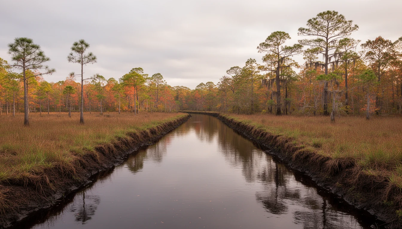
Fences get built where the bulldozer stopped, not where the deed says. Ditches get cleaned and spoil piles shift the visible edge of a field. Over enough time, that matters legally.
Under G.S. 1-40, a person who possesses property under known and visible lines and boundaries, adversely to everyone else, for 20 years, gains title in fee. Twenty years of a fence in the wrong place is not a survey error. It can be the boundary.
This is why I walk a boundary line with the plat in hand and look for the fence and the old roadbed, then ask where the cut edge actually sits. Then I ask the attorney whether the possession history matches the description.
Where the water is the boundary
The Scuppernong is a blackwater river, and it ends parcels in two different ways. A deed can run to the bank or to the run, and those are not the same acreage. A call that follows the thread of a stream moves with the stream over decades of meander; a call to the bank stays where the bank was described.
I am not going to tell you which reading applies to your parcel. That is a surveyor’s call and a title attorney’s call, made against the actual language and the chain. What I will tell you is that on the river parcels, the water line is worth reading twice before you assume the acreage on the listing sheet.
Recording happens in Columbia, and that is the point
Under G.S. 47-18, a conveyance is not valid against lien creditors or purchasers for value until it is registered in the county where the land lies. Tyrrell County records are kept at the Register of Deeds office in Columbia. If any part of a parcel crosses into Dare, Hyde, or Washington County, the document has to be recorded in each one, and a search that only covers Columbia will miss it.
While you are there, ask for the plat index. Plats recorded after September 30, 1991 have to meet the mapping standards in G.S. 47-30, which is part of why newer surveys are easier to work with than the hand-drawn ones from the timber era.
What I would have your attorney pull
- The full chain of title back past 30 years, with the actual documents, not just the index entries.
- Every recorded easement, right-of-way, and drainage agreement touching the parcel. The pocosin and water table chapter explains why drainage easements matter so much here.
- Any estate file for a deceased owner in the chain, whether or not it looks settled.
- The current survey, staked, with the monuments found and the ones set.
- The address the tax office has on file, and whether it matches what you think you are buying.
In a county of 3,245 people, the same three attorneys and the same two surveyors do most of this work. That is a small world, and it cuts both ways. Everyone knows the history of a problem parcel, and everyone is slower than a city firm because there is a line of work ahead of you. Start the title work the week you go under contract, not the week before closing.
I have watched buyers walk away from a good tract because a title problem looked expensive, and I have watched buyers close on ground they could not legally reach. The difference was never luck. It was whether someone read the deed before the ink dried. If you are looking at land here, call me before you make an offer and I will tell you what to pull first.
Common questions
- Do I need a new survey if the seller already has a plat?
- Usually yes, and it is cheap insurance. A recorded plat shows what a surveyor found on the day it was drawn. It does not show the fence a neighbor moved in 2011, the canal that was widened, or the corner monument that got pushed out by a logging crew. On a metes-and-bounds parcel in Tyrrell County, a current survey is how you find out whether the paper describes ground you can actually use.
- What does it mean if a Tyrrell County tract has no deeded access?
- It means you are buying land you may not legally be able to reach. North Carolina provides a route through the cartway statutes, but that is a court proceeding before the clerk of superior court, with notice to the neighbor, a hearing, and compensation. It works, and it takes time and money. Better to buy access than to litigate for it.
- Can I buy a tract from one heir without involving the rest of the family?
- You can buy whatever interest that one heir owns, but you are then a tenant in common with everyone else. Any cotenant can file a partition proceeding, and the family may be arguing about a deed nobody recorded in 1979. Ask for a full chain of title and let an attorney tell you who actually has to sign.
Keep reading
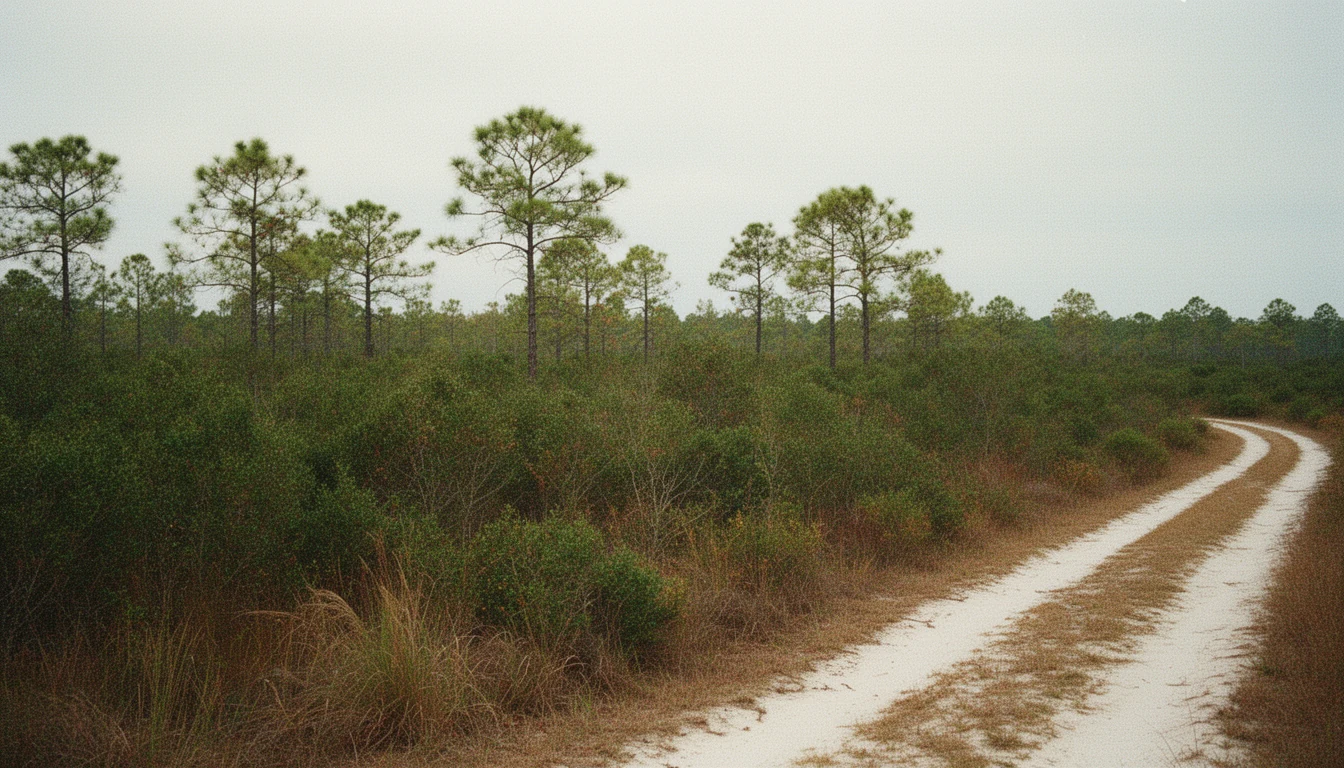
9 Questions Before Buying Beside a Tyrrell Pocosin
Nine questions to settle before buying land beside a Tyrrell County pocosin: wetland maps, outfall ditches, peat fire, floods, and recorded easements.

Three Waters, One County: Tyrrell's Rivers and Sound
Tyrrell County holds more than one-third water. What the Scuppernong River, the Alligator River, and the Albemarle Sound mean for land buyers.

Tyrrell County Contracts: The Risk After You Sign
A 2022 NC Supreme Court ruling confirmed buyers who breach a purchase contract can owe attorney's fees. What that means for Columbia and Tyrrell County.